We live in a world where technology keeps us connected, so it’s easy to forget how important offline navigation skills can be. If you’re deep in the wilderness, caught in a grid-down scenario, or even just dealing with a dead phone battery on a hike, knowing how to navigate without digital tools could be a literal lifesaver.
I’ve found that understanding the natural world and how it can guide us gives peace of mind—something we all need when disaster strikes. That’s why I’ve compiled 18 crucial navigation skills that anyone can learn and practice, so you’ll never feel lost, no matter the situation.
1. Reading a Topographic Map

Understanding topographic maps is essential for navigating in areas without clear paths. These maps show the shape of the land, including elevation changes, valleys, ridges, and bodies of water. By learning to read contour lines, you’ll be able to identify peaks, cliffs, and potential routes. This skill can help you avoid dangerous terrain and plan a safe journey.
2. Using a Compass
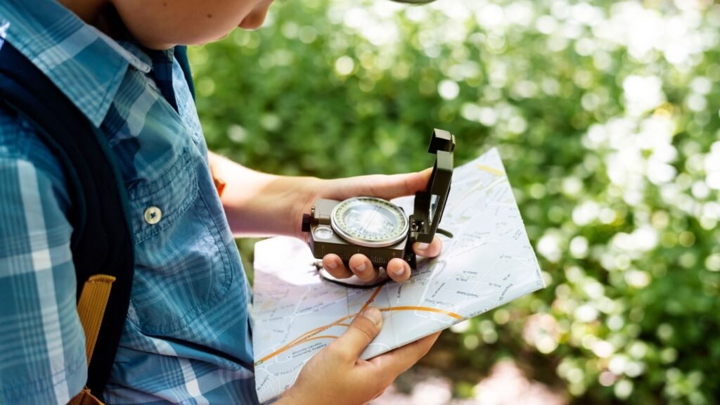
A compass remains one of the most reliable navigation tools. Knowing how to orient yourself using a compass and map is crucial when you’re in an area without cell service. This tool works no matter the weather or lighting conditions. Mastering the basics—like finding north, following a bearing, and triangulation—could mean the difference between finding your way and getting hopelessly lost.
3. Following Landmarks

When you’re navigating without digital tools, natural landmarks become your best guideposts. Mountains, rivers, and unique rock formations can all serve as reference points. Once you establish a landmark, it can help you keep track of your direction and distance traveled. This skill is especially useful in foggy or low-visibility situations where precise tools may be less effective.
4. Tracking the Sun
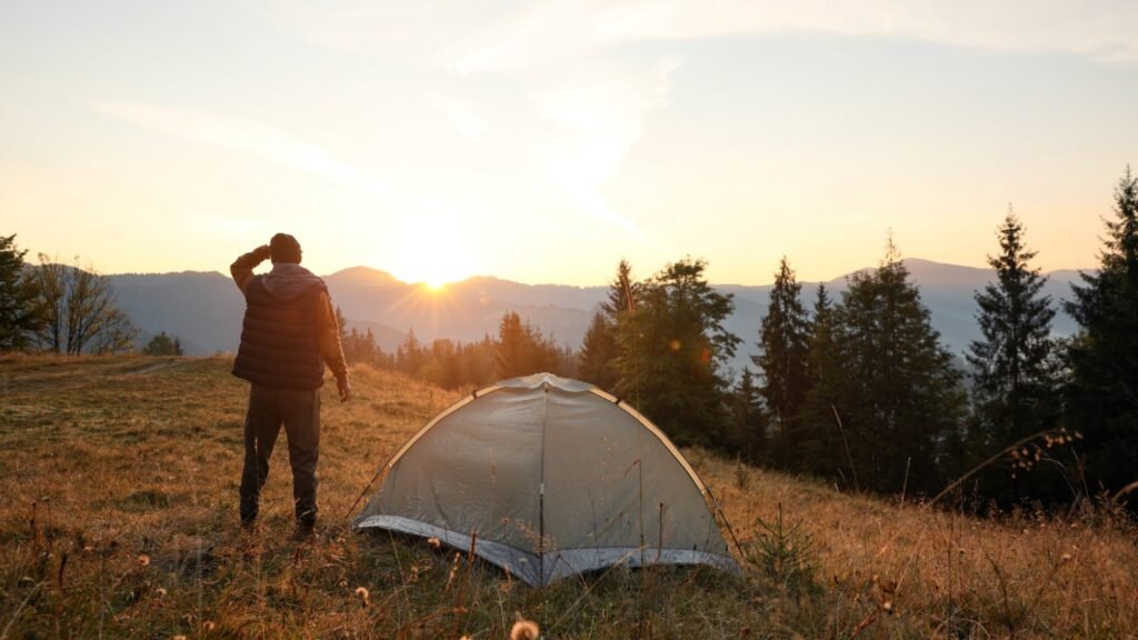
The sun is a dependable tool for finding direction during the day. In the northern hemisphere, the sun rises in the east and sets in the west, providing a natural compass. By understanding the sun’s path through the sky, you can estimate time, direction, and your current location relative to known landmarks.
5. Navigating by the Stars

Star navigation is a skill that has guided humans for thousands of years. Learning to identify key constellations like the Big Dipper or Orion can help you find true north and maintain your course at night. This technique can be lifesaving if you’re lost without a compass, especially in remote areas with little light pollution.
6. Estimating Distance by Pacing

Knowing how to estimate distance on foot can help you navigate and measure your progress. You can use your own steps to calculate distance, typically by counting your paces over a known length, like 100 feet, then applying that to longer distances. This skill allows you to determine how far you’ve traveled without relying on digital devices.
7. Using a Watch as a Compass

Even a simple analog watch can be turned into a navigation tool. By aligning the hour hand with the sun, the midpoint between that hand and 12 o’clock will point south (in the northern hemisphere). This trick is especially helpful if you don’t have a compass on hand and need a quick way to find direction.
8. Identifying Moss Growth

Many people believe moss grows predominantly on the north side of trees, but that’s only partially true. Moss tends to grow in areas that are shaded and damp, which often—but not always—means the northern side in the northern hemisphere. Still, by combining this observation with other navigational cues, you can get a better sense of direction.
9. Reading Animal Trails
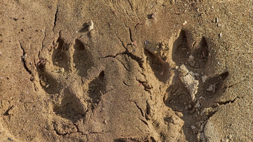
Wildlife often knows the safest and most efficient routes through an area. By paying attention to animal tracks and well-worn game trails, you can find paths that lead to water sources or safer ground. This method requires some experience in tracking, but it’s a valuable skill when you’re trying to find your way.
10. Using Rivers and Streams

Waterways can act as natural guides. Rivers and streams generally flow downhill, leading to larger bodies of water or human settlements. If you find yourself lost, following a river downstream can help you find civilization or fresh water—both of which are essential in an emergency.
11. Following Wind Patterns

Wind can give you subtle clues about direction and weather changes. In many regions, prevailing winds blow from a consistent direction. By paying attention to which way the wind is blowing, you may be able to confirm your orientation or detect approaching weather fronts.
12. Shadow Stick Method
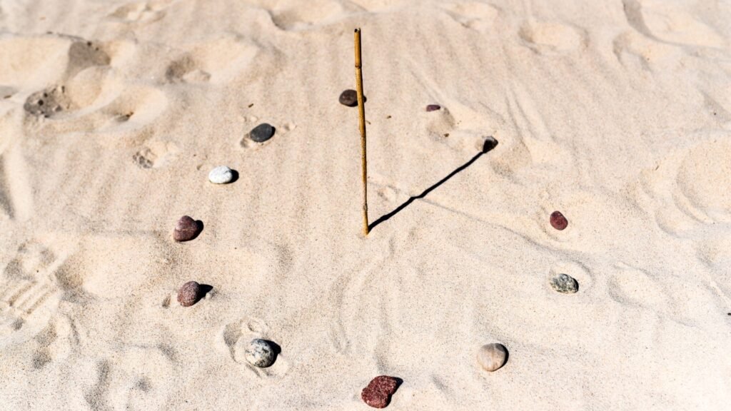
The shadow stick method is an old trick for finding true north. By placing a stick upright in the ground and marking the tip of its shadow, you can track the shadow’s movement. The shortest shadow points toward true north, and this method works as a simple compass substitute in sunny conditions.
13. Using Slope Aspect

The aspect of a slope—its orientation relative to the sun—can tell you a lot about direction. In the northern hemisphere, south-facing slopes receive more sunlight and are typically warmer and drier. Understanding this can help you determine your general direction when other landmarks are unclear.
14. Navigating with Cloud Movement

Clouds can give you hints about the prevailing wind and direction. High-altitude clouds often move from west to east in the northern hemisphere, while low-altitude clouds might follow local wind patterns. This can be a backup method to check your orientation if you’re without a compass or map.
15. Dead Reckoning
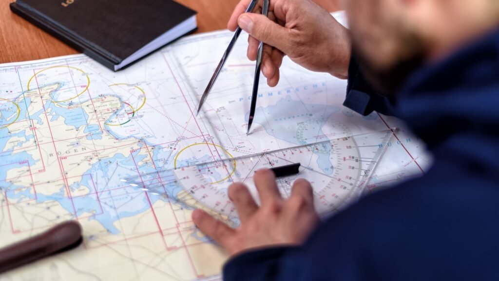
Dead reckoning is a method of estimating your current position by keeping track of your speed, direction, and time traveled from a known point. This technique requires a lot of focus and practice but can help you stay on course in featureless terrain, like deserts or open seas.
16. Recognizing Tree Growth Patterns

In areas with distinct seasons, trees often grow with more branches and leaves on the side that gets the most sunlight—usually the south in the northern hemisphere. While this isn’t a foolproof method, observing tree growth can offer subtle directional cues.
17. Orienteering

Orienteering is a sport that combines running with navigation, but the skills you learn can be applied in any survival scenario. The ability to interpret a map quickly and move toward a destination efficiently is a great way to prepare for real-world situations where you might need to move fast.
18. Using Magnetic Anomalies
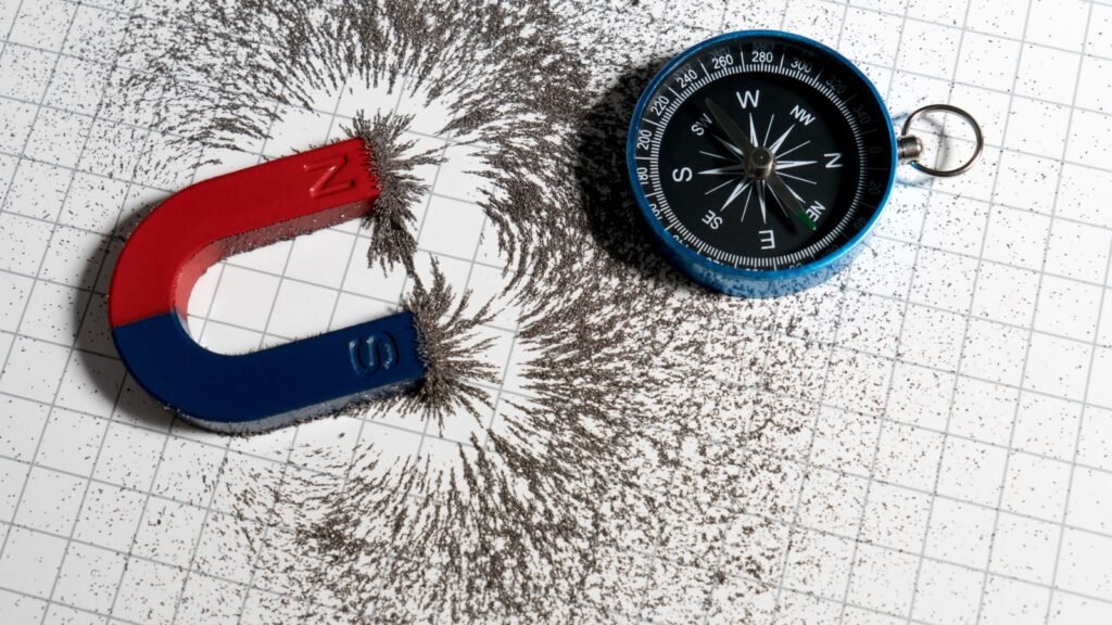
In some areas, local magnetic anomalies can throw off compass readings. If your compass starts behaving strangely, you might be near large metal deposits or magnetic rocks. Understanding these anomalies helps you avoid getting confused and lets you rely on other navigation methods if needed.

